Copyright 2025 AG DRONES Inc. / agridrones.ca
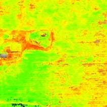
Field mapping is an essential tool for:,
+ plant counts,
+ yield estimation,
+ plant stress analysis,,
+ prescription mapping,
+ field inspection, survey,
Schedule routine flyover mapping for a more detailed overview.
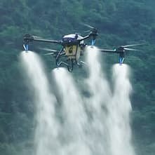
With field data from aerial and ground assets we can pinpoint specific zones in need of remedies.Our Ag drones can cover a lot of acres quickly (45-60 ac/hr.). Application by drones save resources, both water and product, with precision and full coverage.
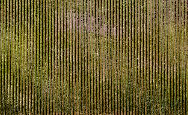
Hundreds of images are captured and stitched together to create a topographical map. The field is analyzed and from this we can obtain extensive data such as:
+ Yield estimates
+ 2D topographic map with Stand counts, plant counts,
+ Digital Elevation Maps,
+ Digital Surface Maps,
+ 3D models can be produced to give a view of crops as never seen before.
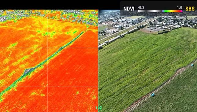
Multispectral imaging is the capturing of specific wavelengths of light including bands beyond the visible spectrum. Blue, Green, Red, Red Edge, and Near Infrared. Vegetation Index maps give information on plant health and soil conditions using NDVI, GNDVI, NDRE and other Vegetation Indices. These maps are made from algorithms that compare the differences captured in those specific bands of the electromagnetic spectrum. These insights are visible before we can see then with the naked eye, enabling us to be proactive and keeping us ahead of the game.
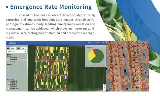
Analytic software can identify and keep track of tree and plant sizes, health, and location. This information is invaluable for yield estimating and prescription mapping for precision remedy application. Comparison of archived maps and data can give insight into patterns and trends.
Make good decisions sooner.
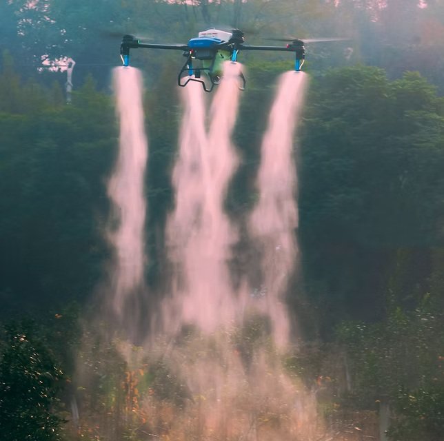
Day or night. EAVISION Ag drones can cover an average of 50 acres per hour in any terrain. Water soaked fields and power lines are no worries for these agriculture drones as they apply product without soil compaction or crop impact from machinery.
In collaboration with Earth Smart Solutions and Soil Synergy, we combine leading ag drone technology with proven regenerative solutions. Together, we’re transforming how nutrients are delivered—sustainably and effectively.
Tailored Programs for Every Crop
We offer customizable Bundles and Programs designed for specific crops and challenges. Each solution is aligned with your regenerative farming goals, helping you grow smarter, healthier, and more sustainably.
Real-Time Nutrient Analysis
Using the LeafTech Analysis Tool from AgTek360, growers and agronomists can scan leaf tissue directly in the field to measure 12 key micro and macro nutrients. This ground-truthing process enables us to tailor inputs based on real-time plant needs, ensuring optimal crop health and performance.
(March–May)
Focus: Soil activation, seed prep, early plant protection
June–August)
Focus: Nutrient support, foliar feeding
(September–October)
Focus: Residue management, soil conditioning, post-harvest prep
November-February)
Focus: Planning, analysis, program customization
Or please fill out the form and we will get back to you soon. Thank you.

Copyright 2025 AG DRONES Inc. / agridrones.ca
We use cookies to improve your experience on our site. By using our site, you consent to cookies.
Manage your cookie preferences below:
Essential cookies enable basic functions and are necessary for the proper function of the website.
These cookies are needed for adding comments on this website.
Statistics cookies collect information anonymously. This information helps us understand how visitors use our website.
Google Analytics is a powerful tool that tracks and analyzes website traffic for informed marketing decisions.
Service URL: policies.google.com